- +91 96773 55555
 English
 Chinese (Simplified)
 Dutch
Dutch French
 German
 Hebrew
 Italian
 Portuguese (Brazil)
 Russian
 Spanish
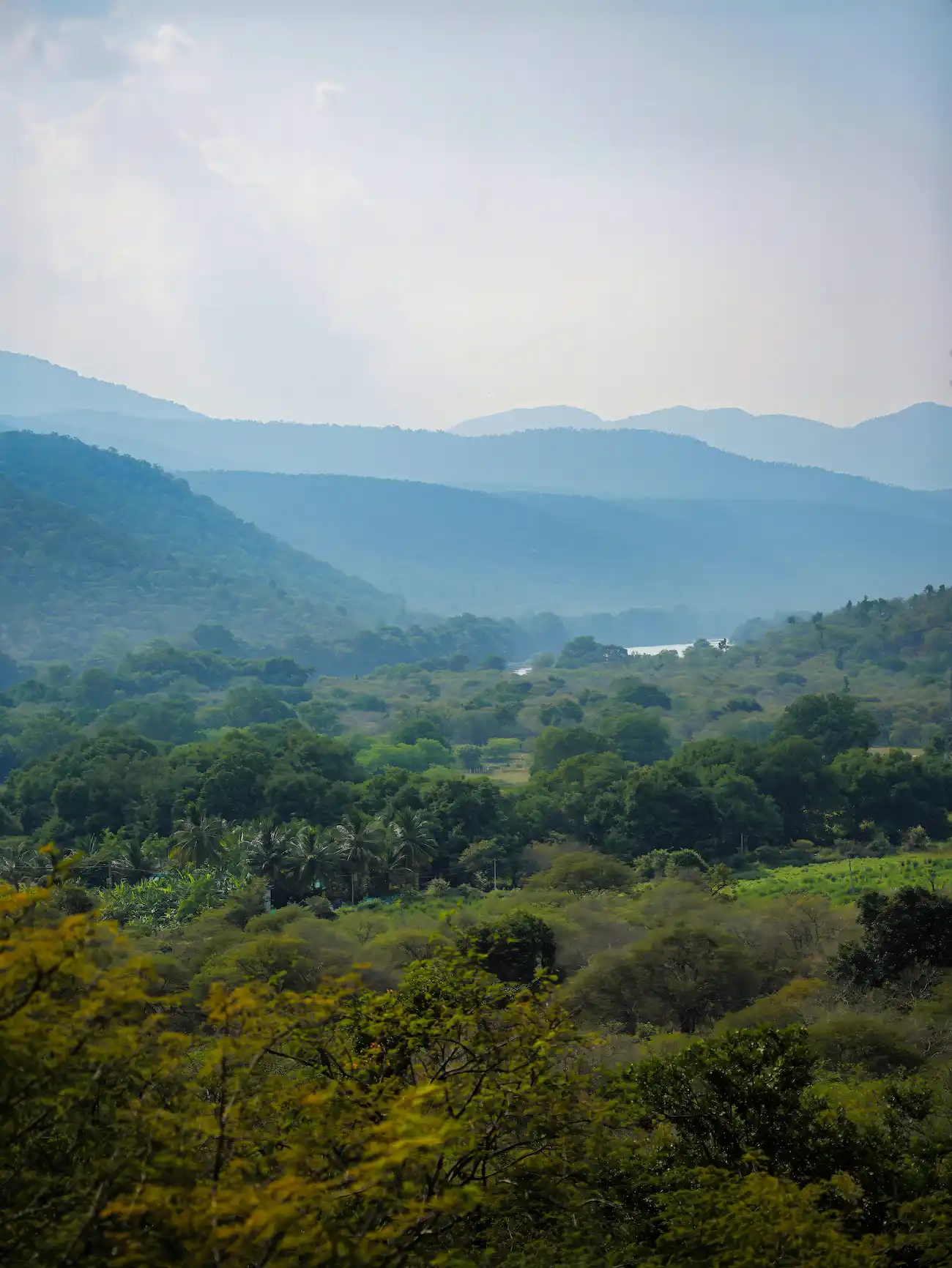
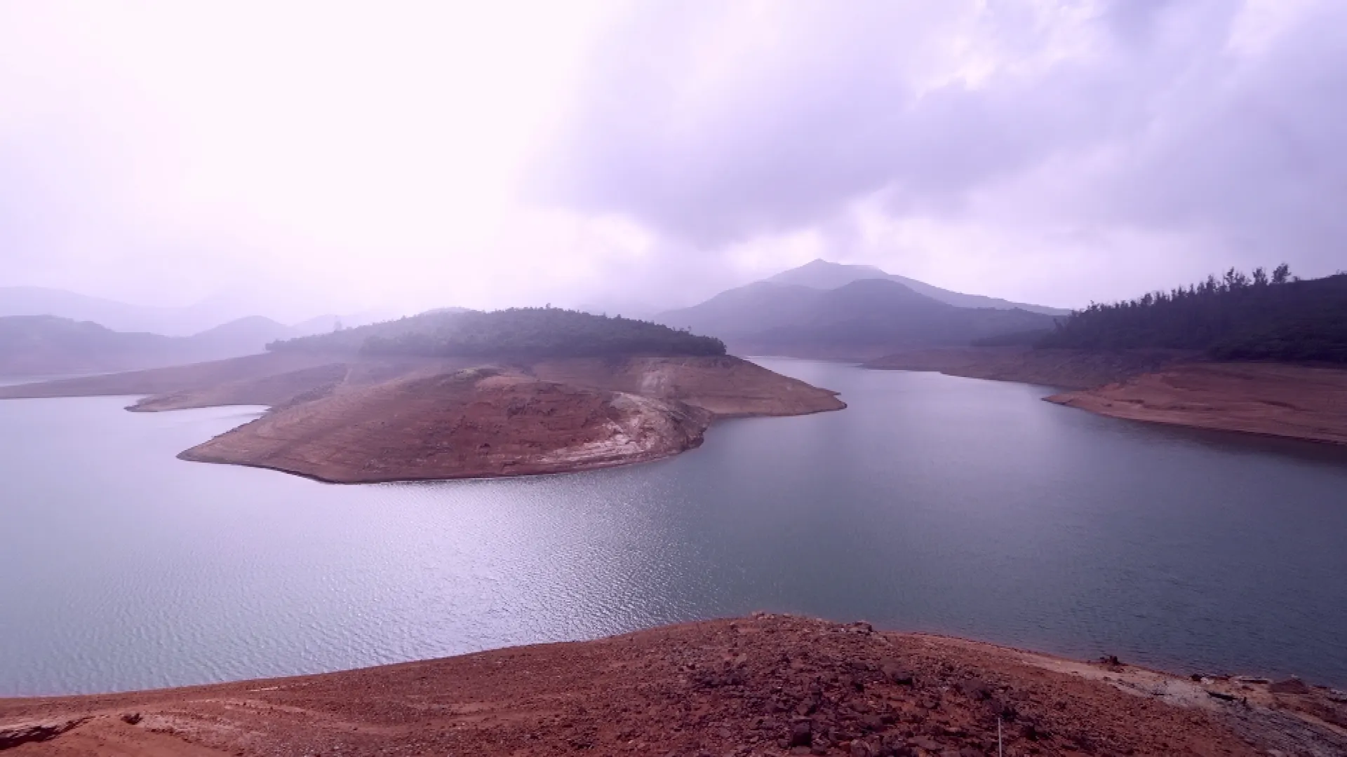
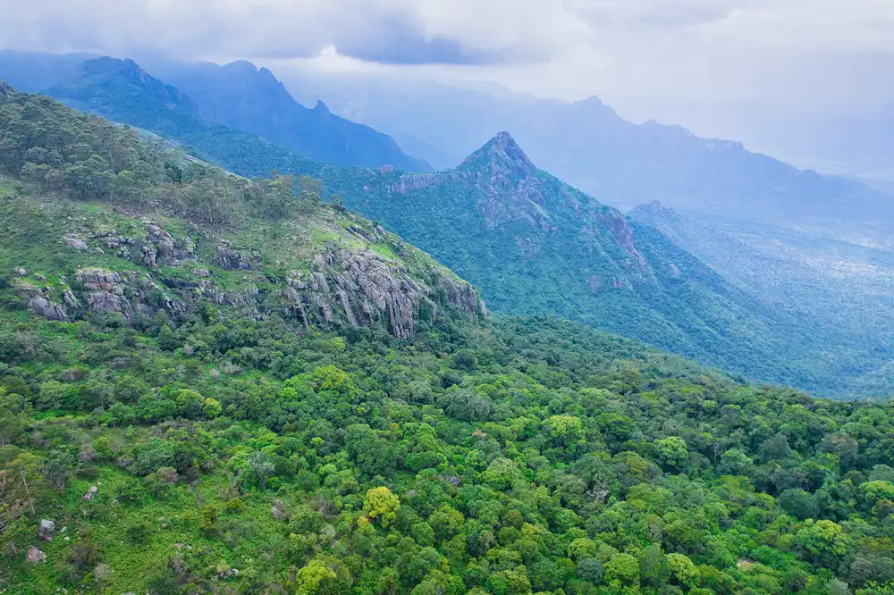
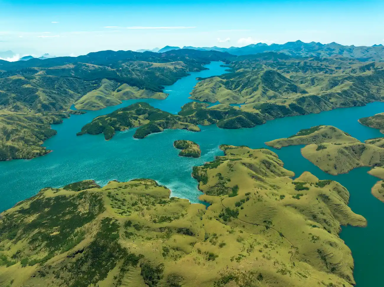
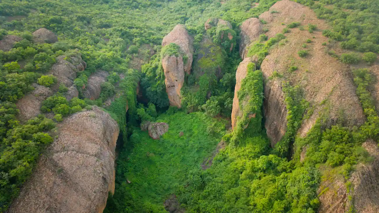
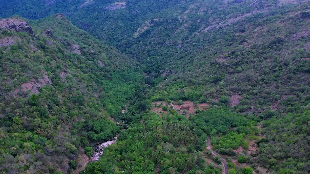
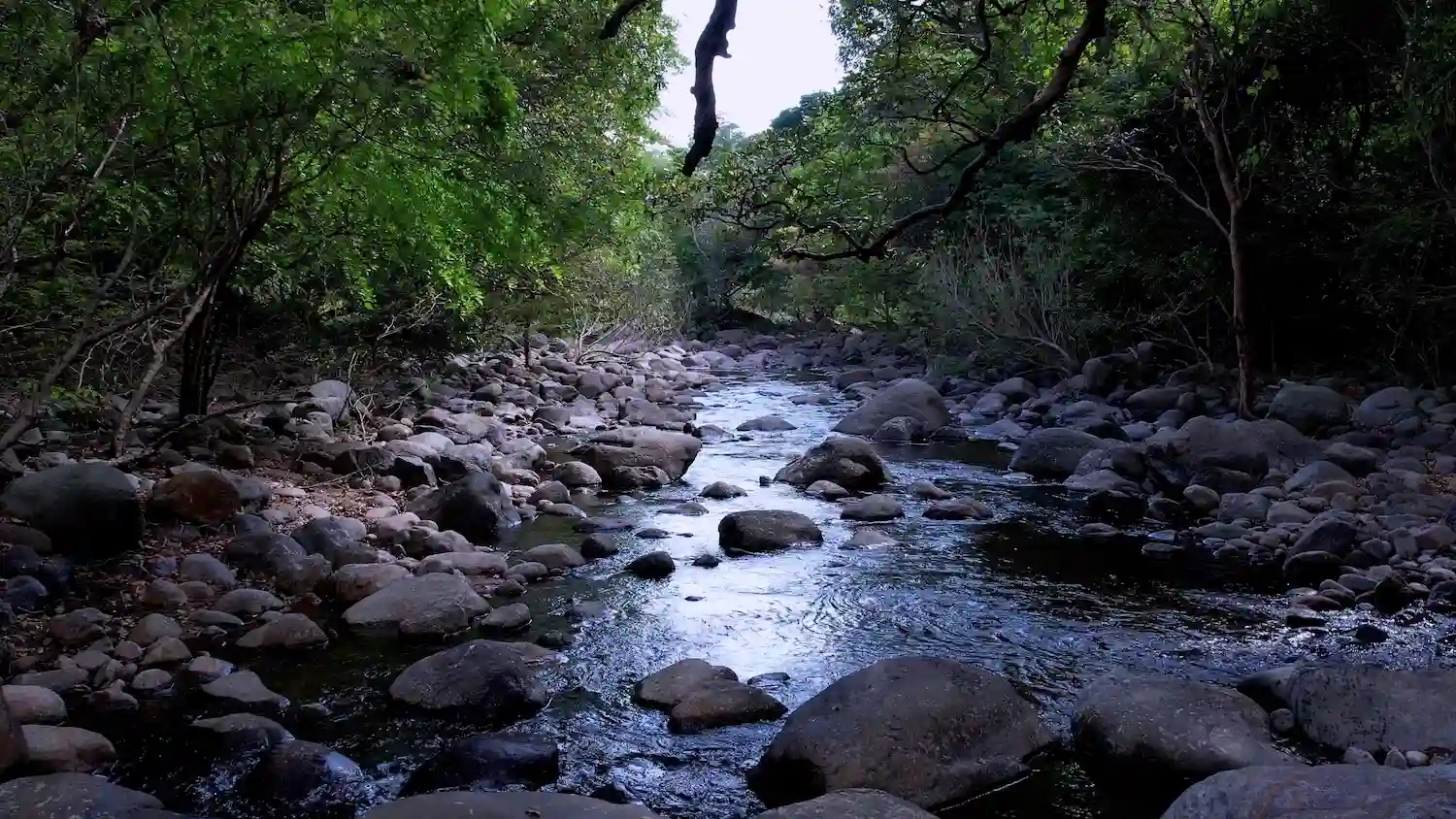
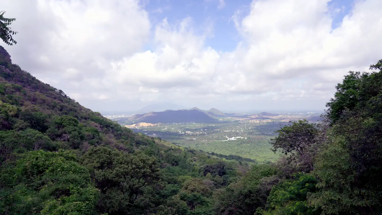
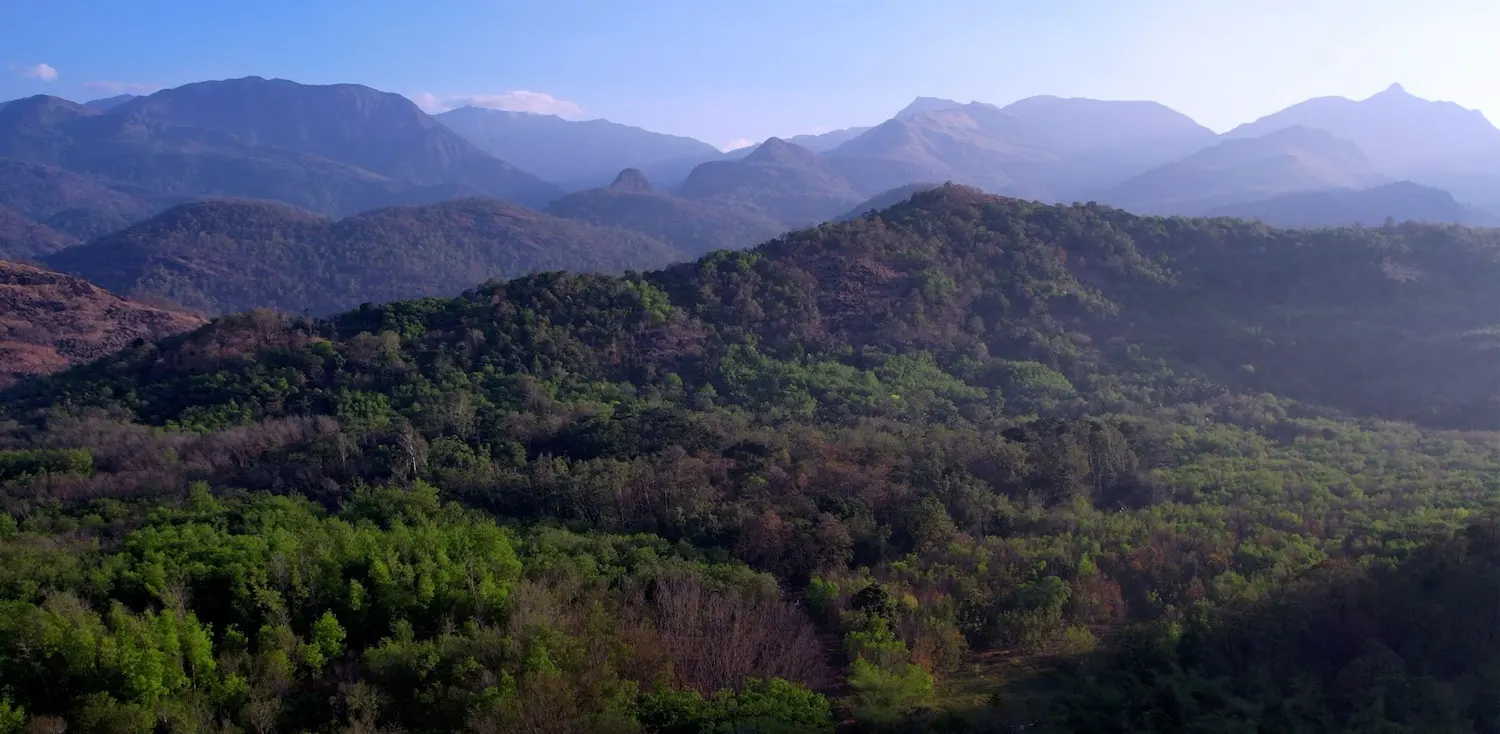
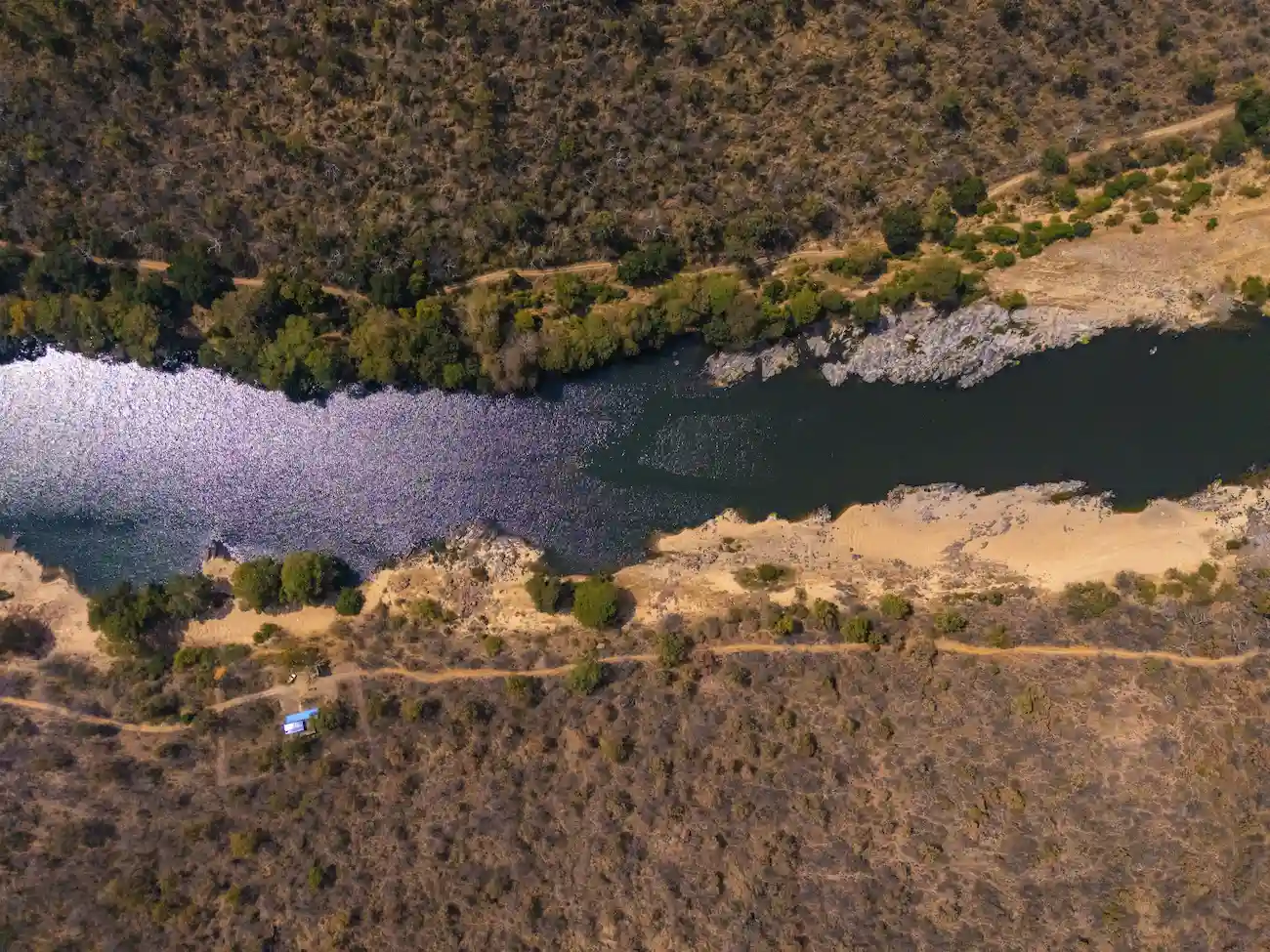
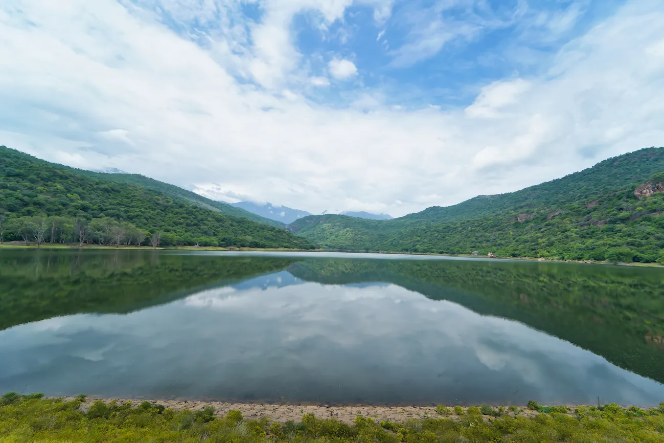
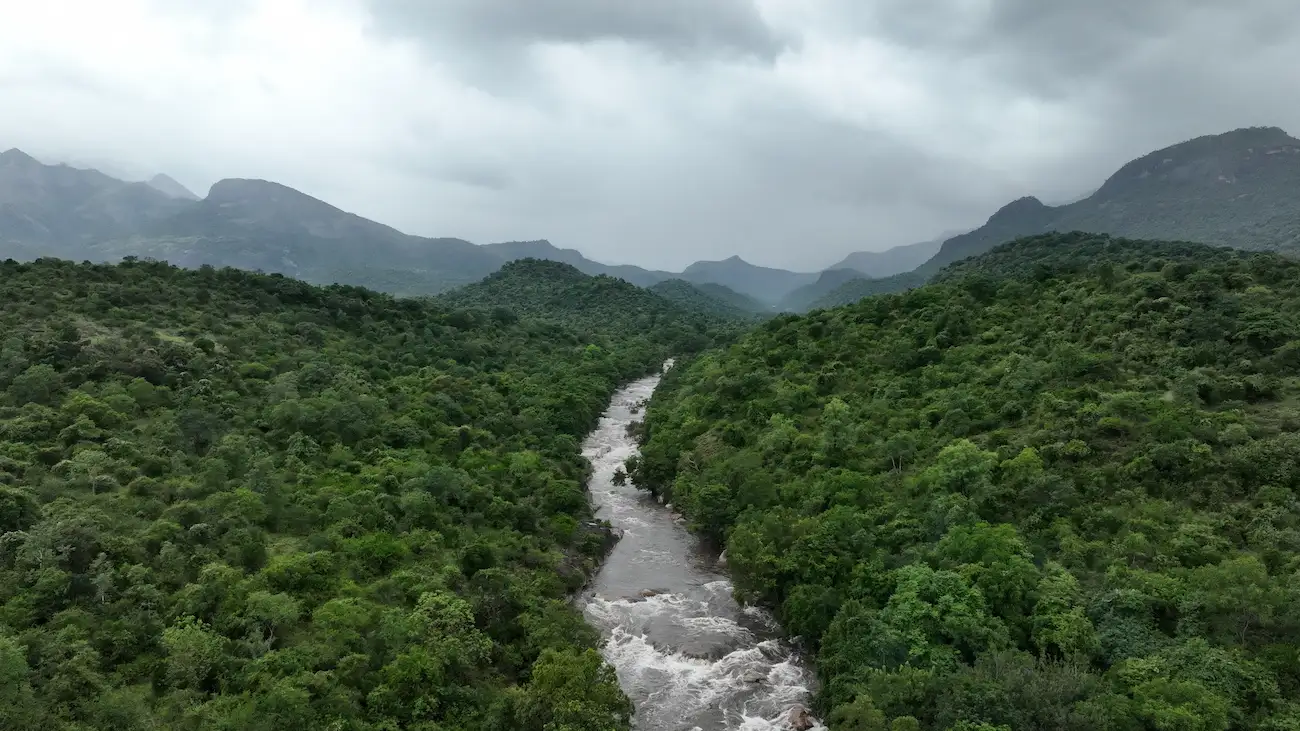
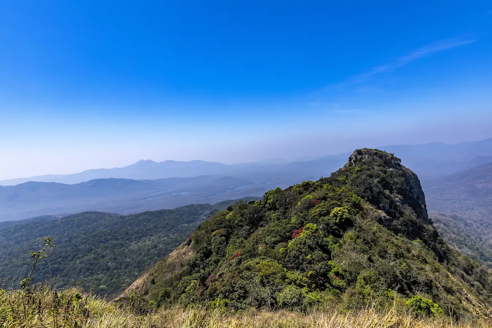
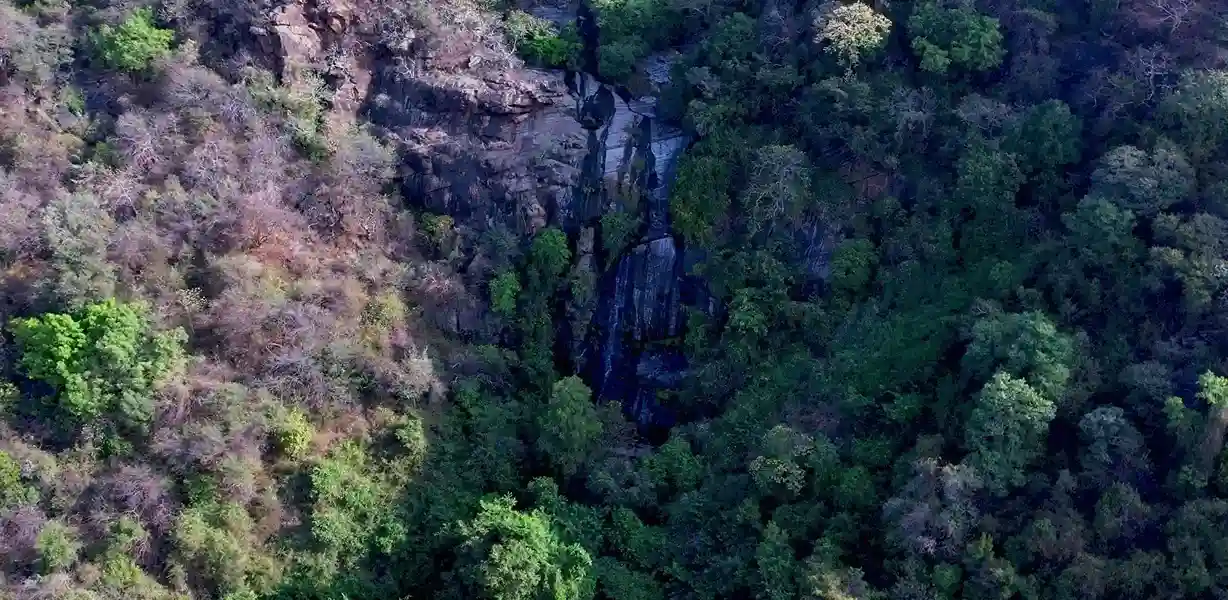
The Biligundulu – Rasimanal Trail is a scenic trekking route located in the forested landscapes of Krishnagiri District along the Tamil Nadu–Karnataka border. The trail passes through the rugged terrain of the Eastern Ghats, offering trekkers breathtaking views of valleys, rocky hills, forest stretches, and the famous Cauvery River basin near Biligundulu.
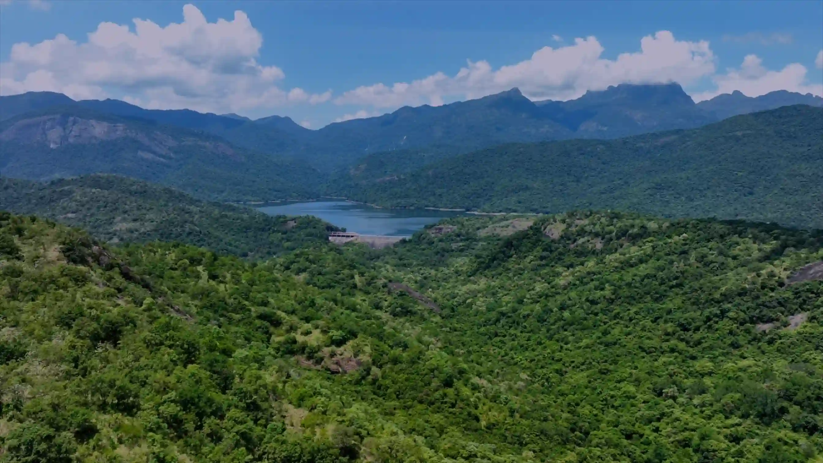
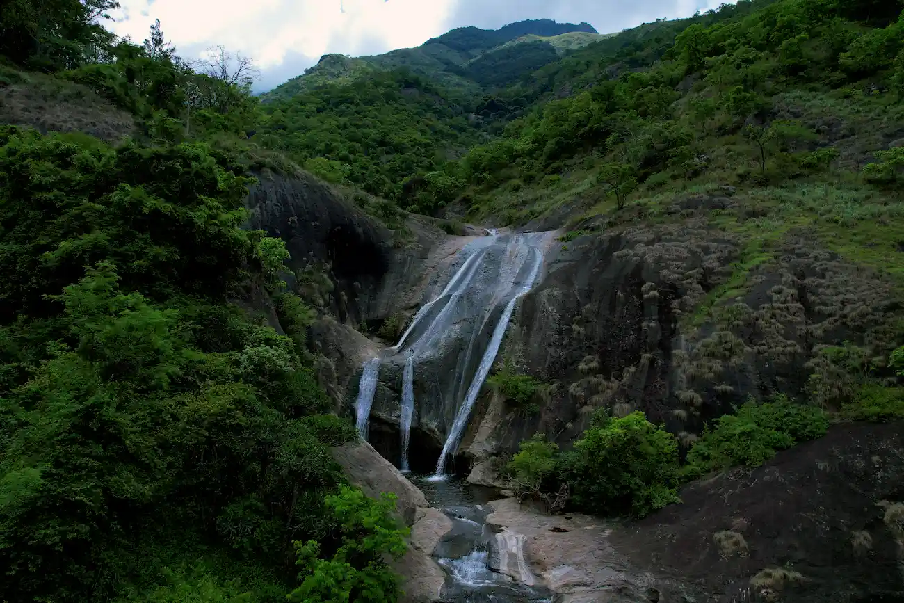
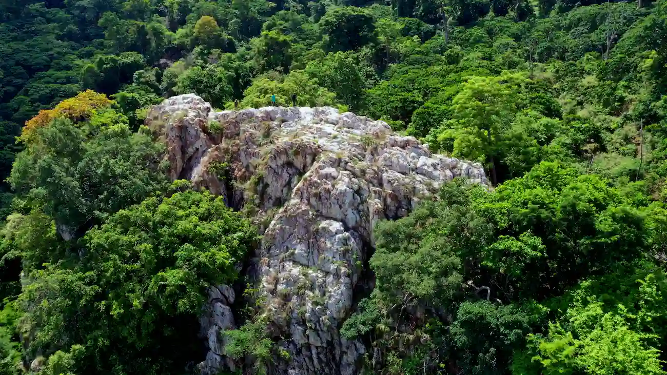
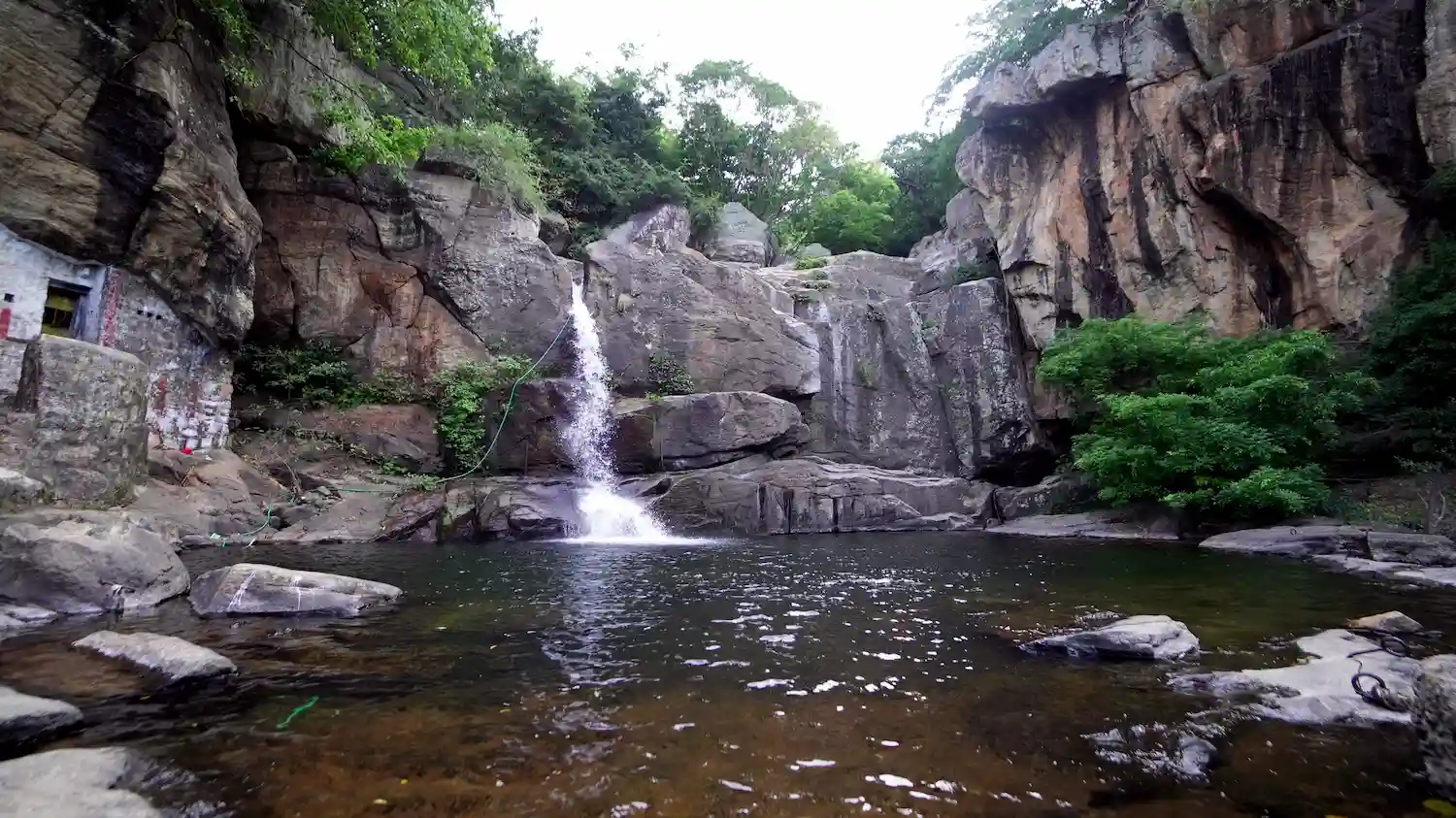
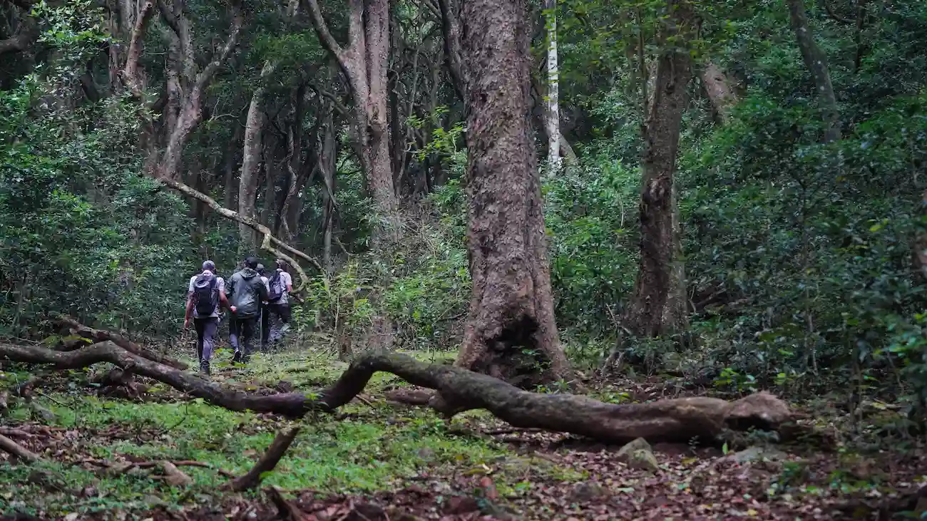
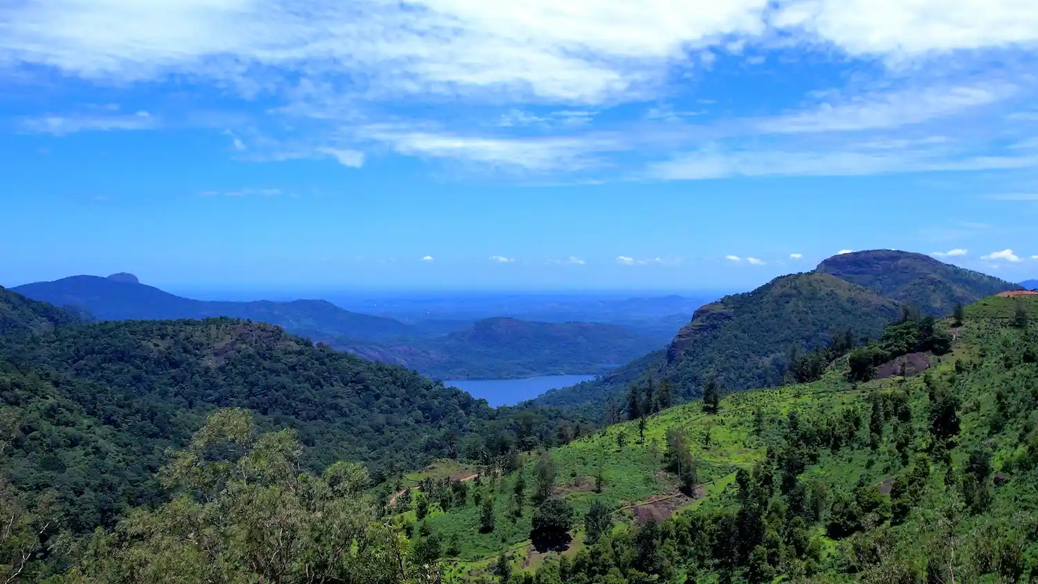
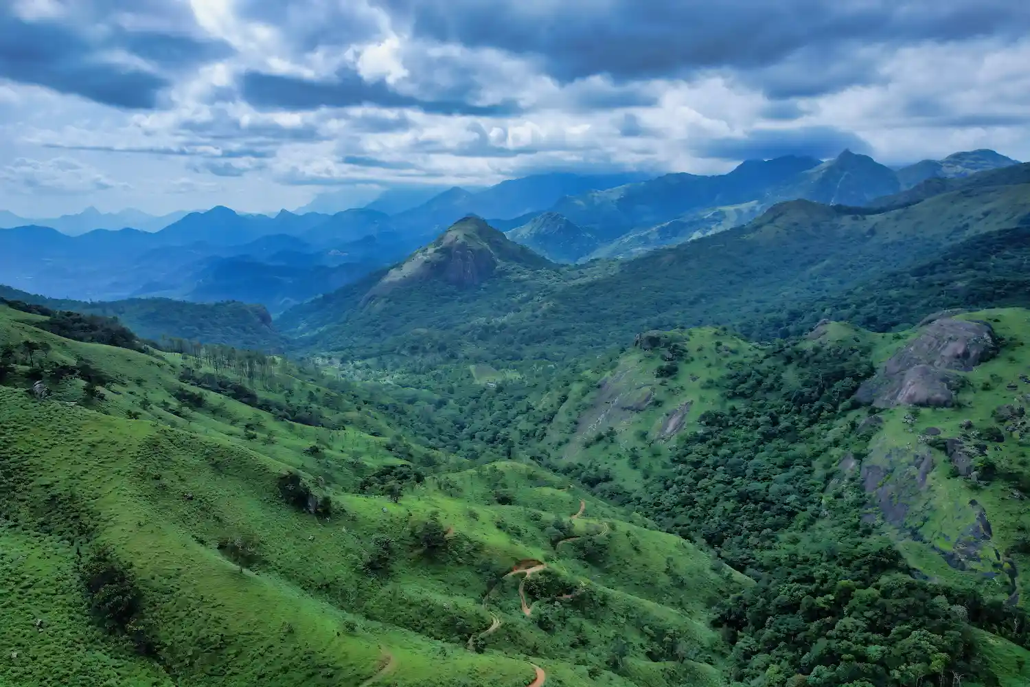
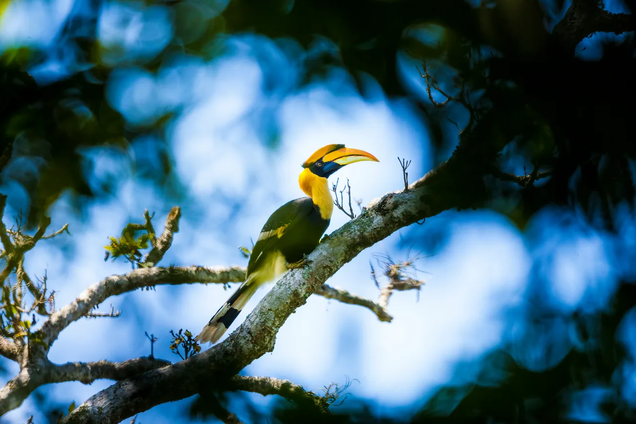
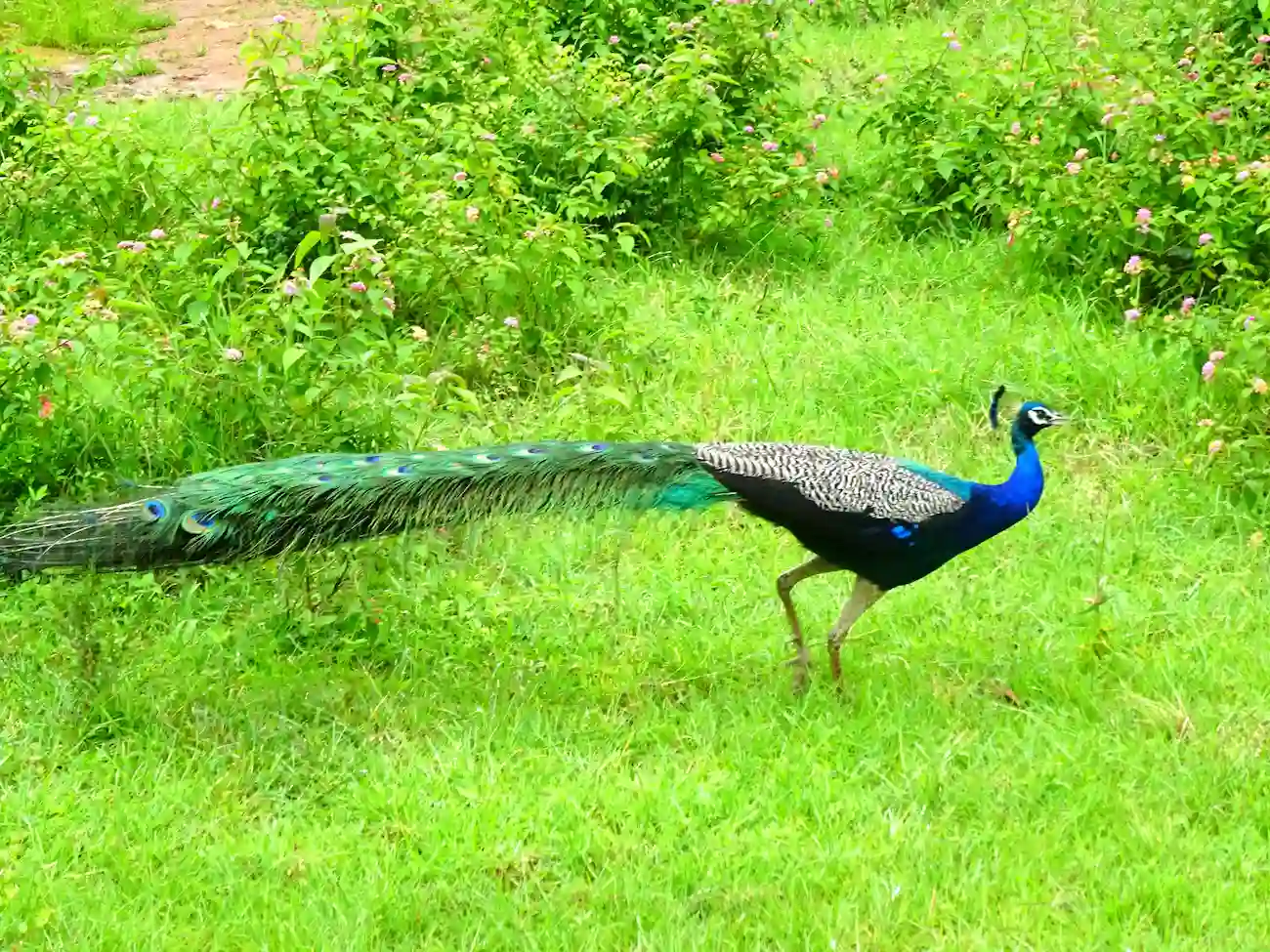
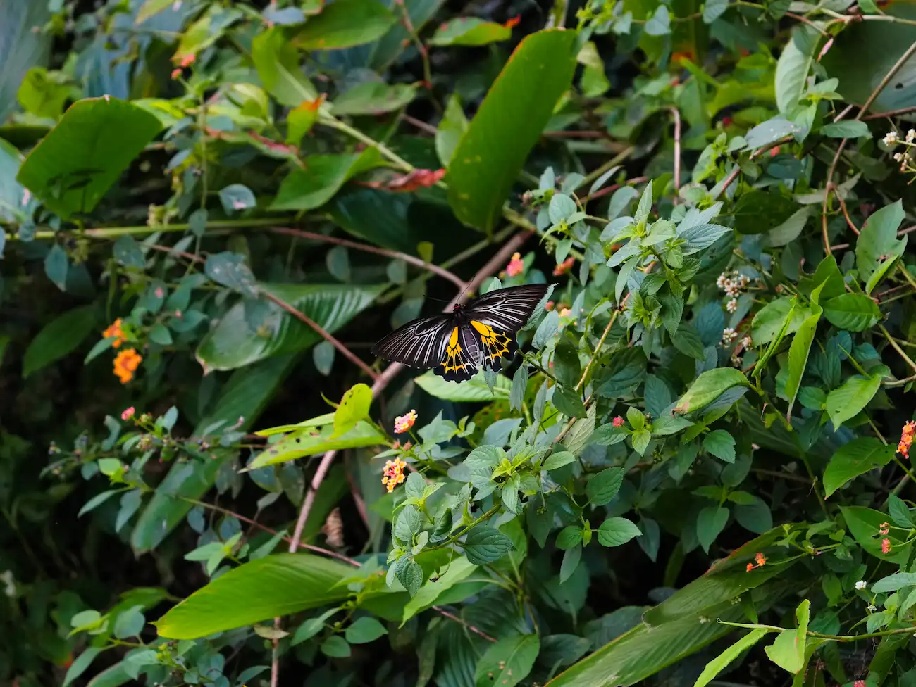
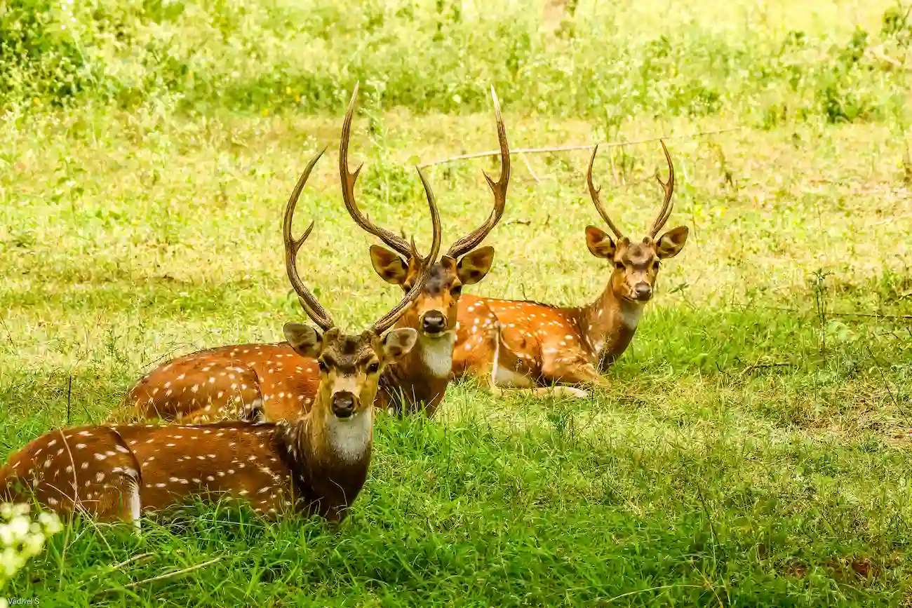
Known for its natural beauty and biodiversity, the trek combines adventure with nature exploration. Trekkers encounter dry deciduous forests, grasslands, rocky ridges, and panoramic viewpoints that provide stunning views of the surrounding hills. The route is ideal for nature enthusiasts, photographers, bird watchers, and adventure seekers looking to experience the untouched wilderness of northern Tamil Nadu.
The Biligundulu – Rasimanal Trail is one of the most picturesque trekking routes in Krishnagiri District. Beginning near Biligundulu, a location famous for monitoring the flow of the Cauvery River into Tamil Nadu, the trail gradually ascends through forested slopes and rocky landscapes before reaching Rasimanal.
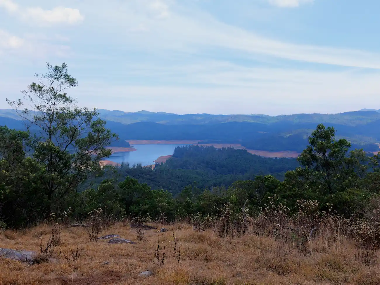
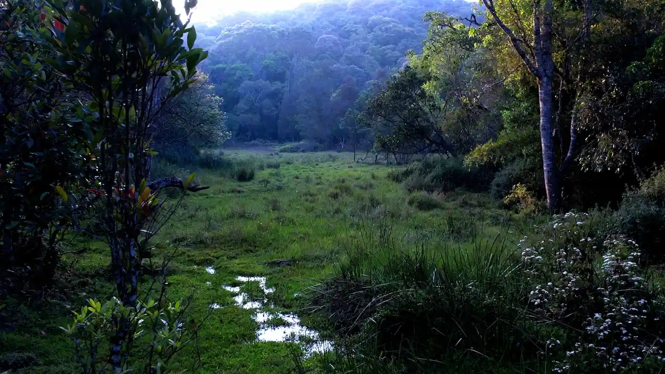
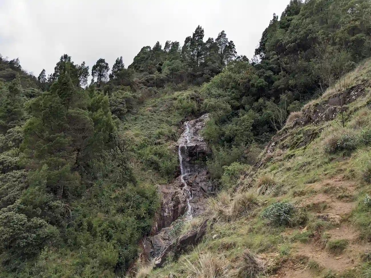
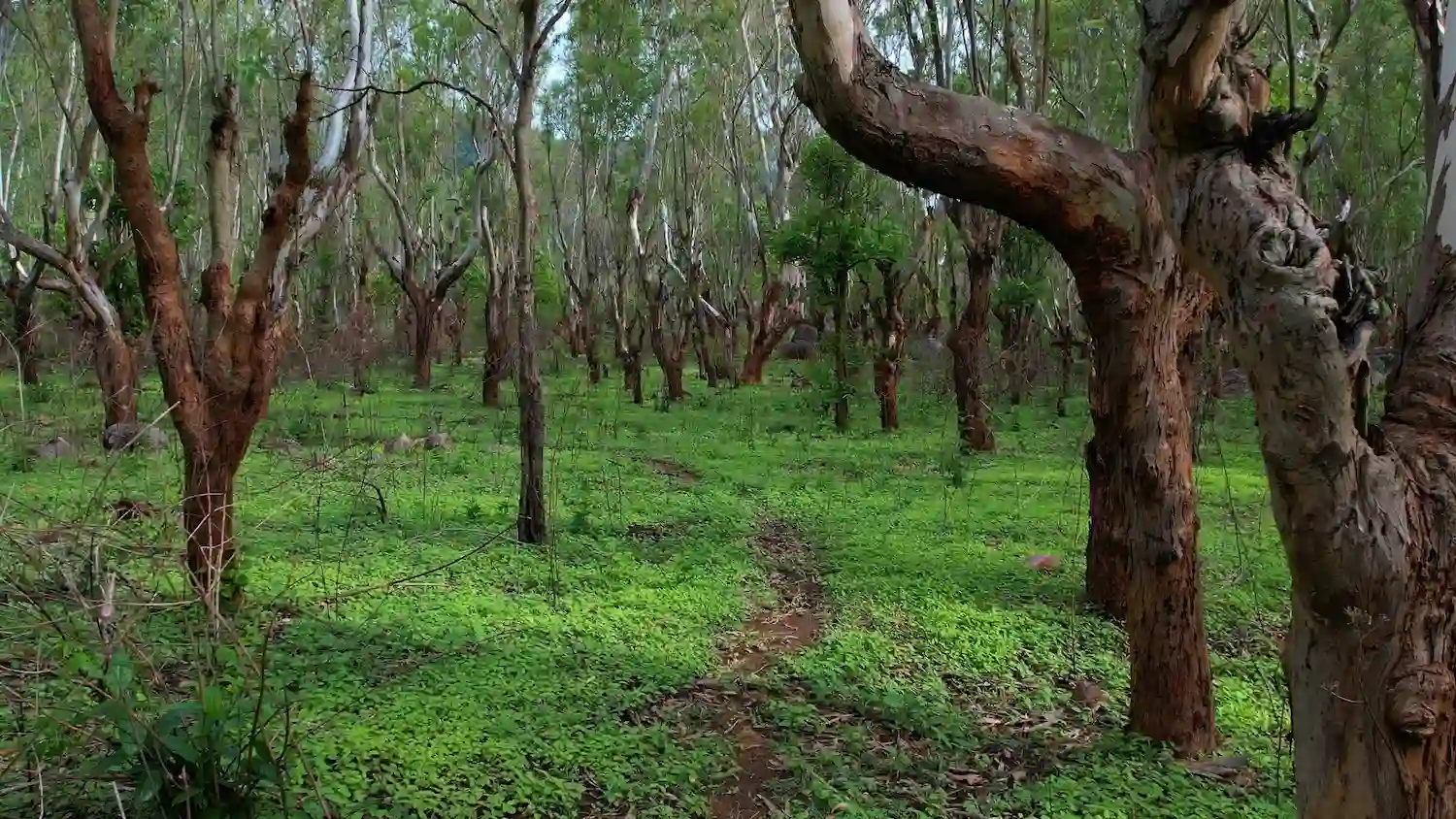
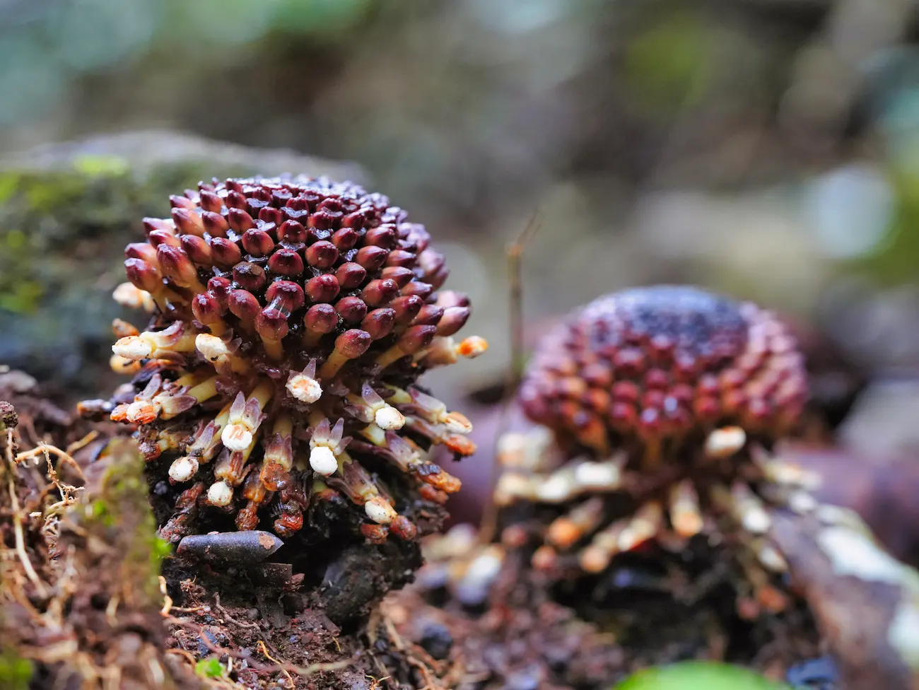
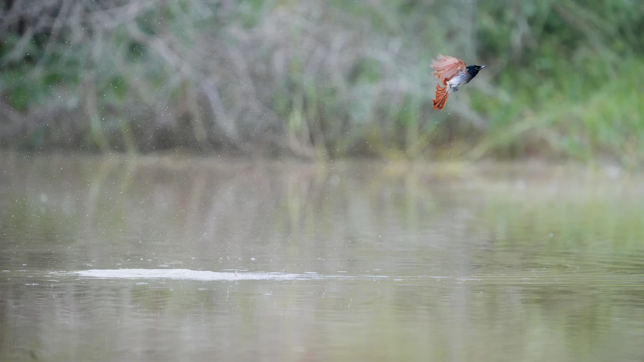
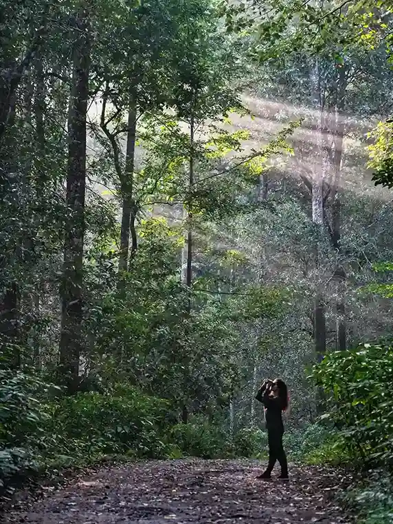
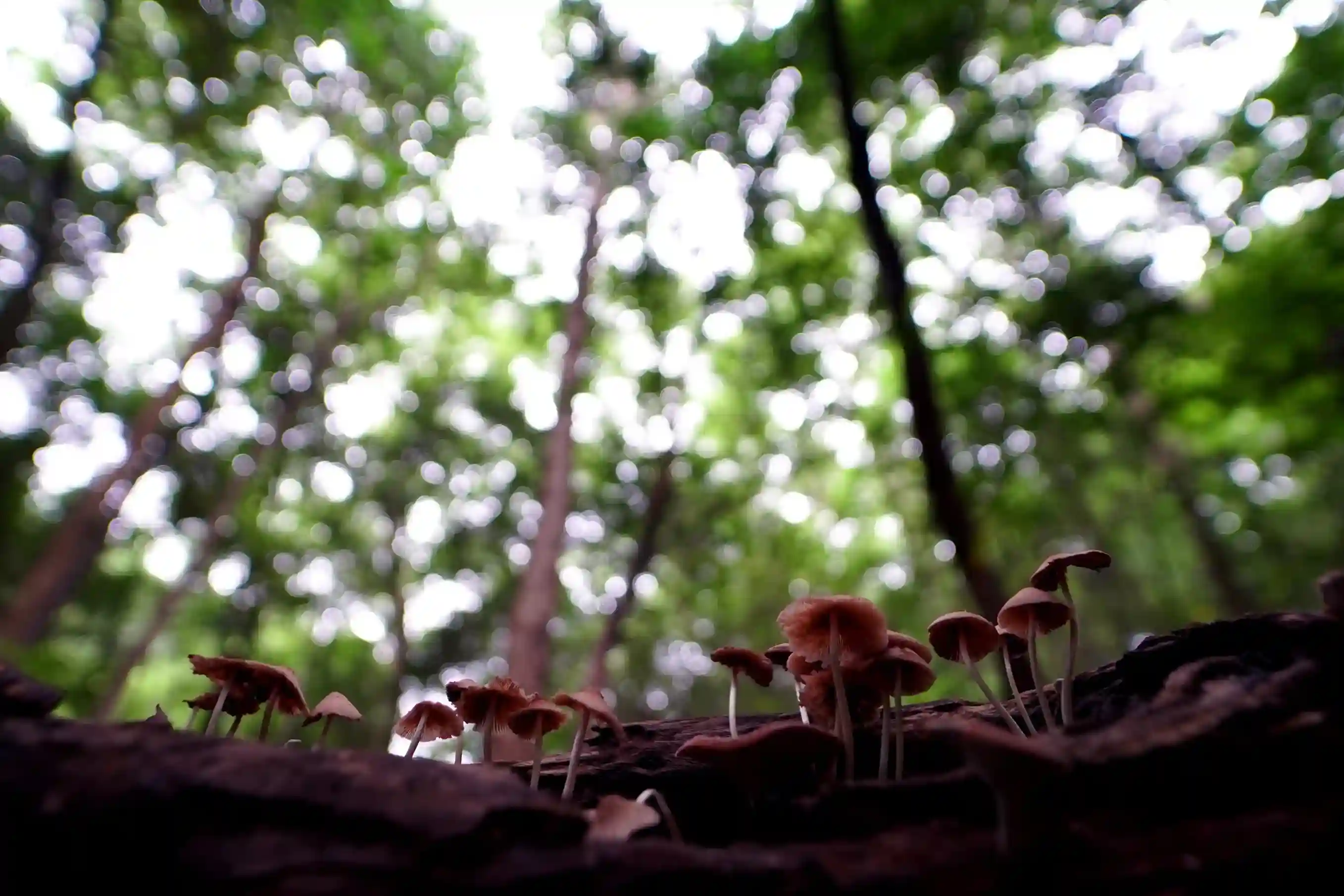
The trek traverses through sections of dry deciduous forest interspersed with grasslands and rocky outcrops. Along the route, trekkers can enjoy spectacular views of the surrounding valleys and hill ranges of the Eastern Ghats. The peaceful forest environment supports a variety of bird species, butterflies, and small wildlife, making it an excellent destination for eco-tourism.
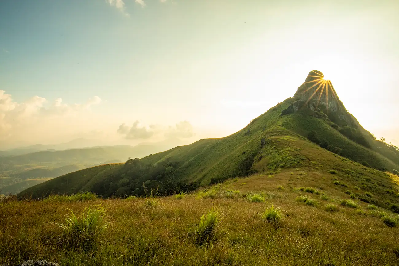
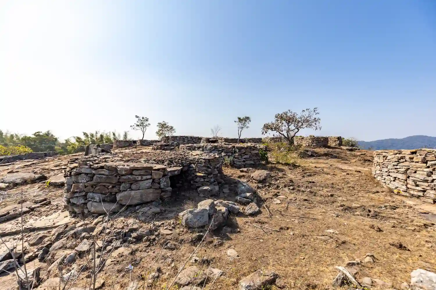
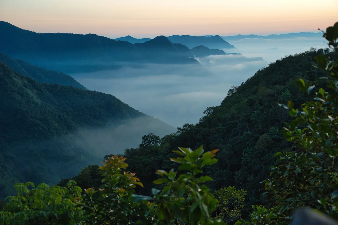
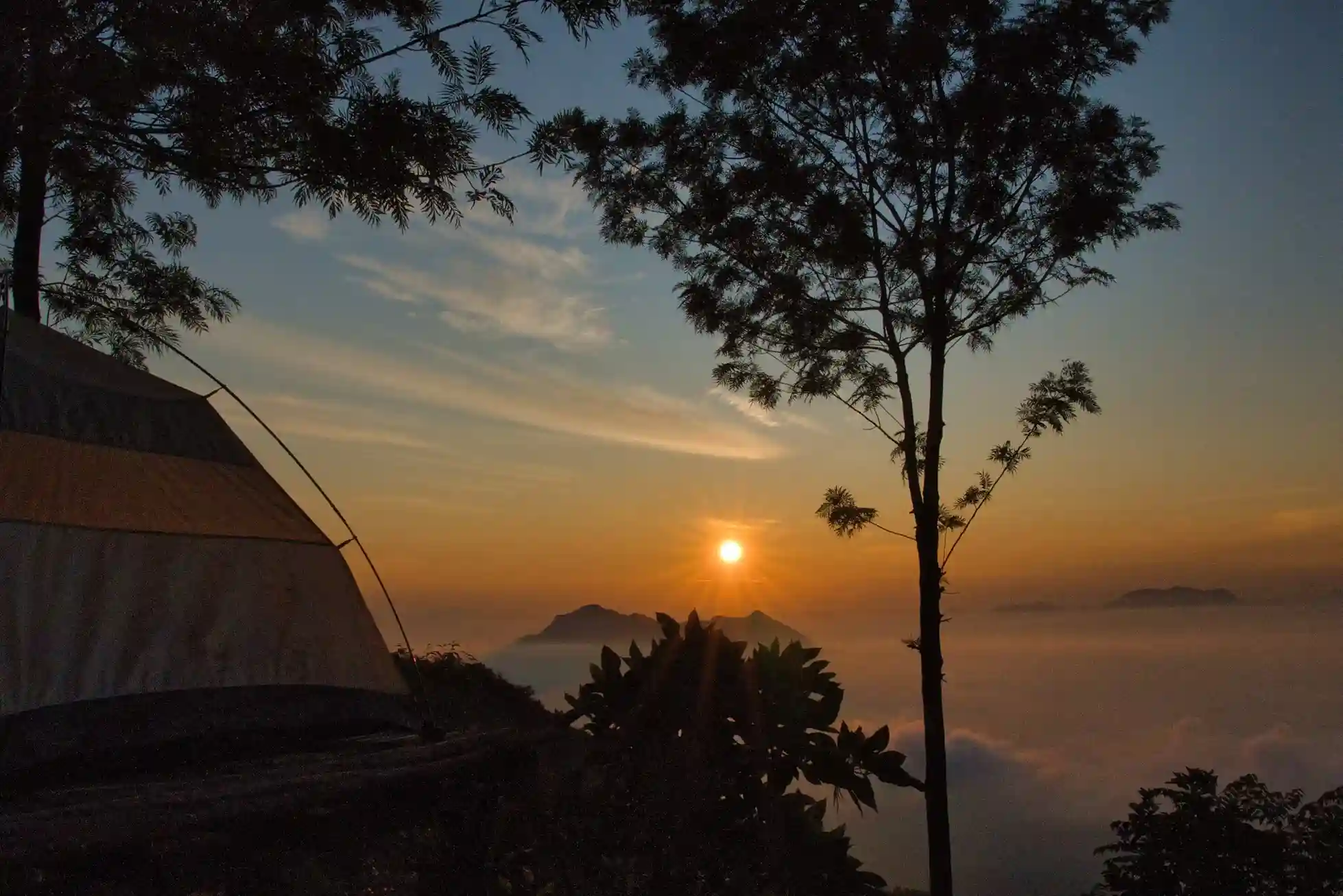
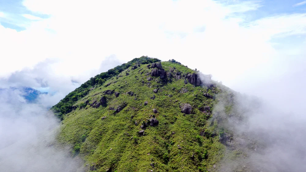
As the trail gains elevation, hikers are rewarded with panoramic viewpoints overlooking the forested countryside and distant hill formations. The route offers a perfect blend of adventure, photography opportunities, and nature appreciation while showcasing the ecological richness of Krishnagiri's hill landscapes.
The moderate difficulty level makes it suitable for both beginners with basic fitness and experienced trekkers seeking a refreshing outdoor experience.
Arrive at Biligundulu Forest Check Post and complete registration formalities.
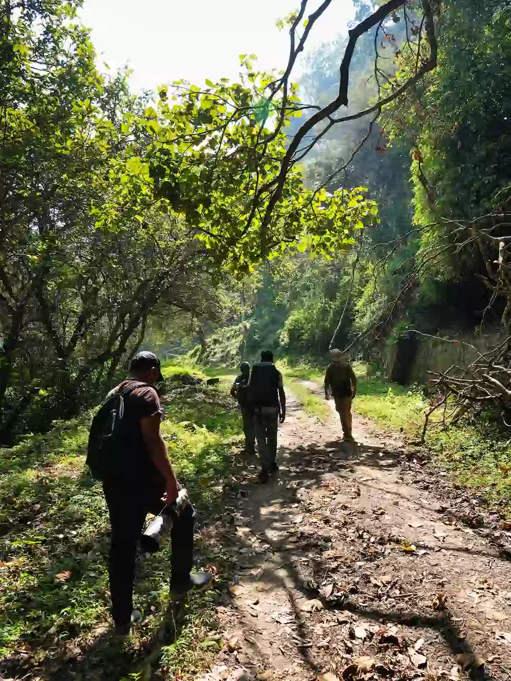
Meet the trekking guide and receive safety instructions and trail information.
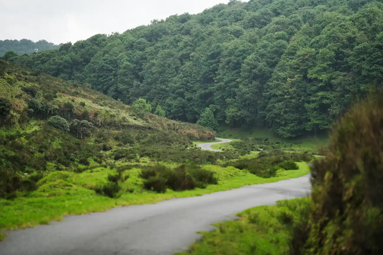
Start the trek through forest paths and rocky terrain.
Walk through dry deciduous forests while observing native flora and birdlife.
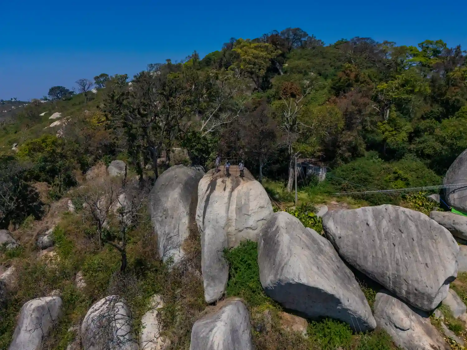
Short break at a scenic ridge offering panoramic views of surrounding valleys.
Proceed through elevated sections and rocky landscapes.
Explore the summit area, photography session, and rest stop.
Descend through the same route while enjoying forest scenery.
Arrive at the base point and disperse.
The Biligundulu – Rasimanal Trail is suitable for participants with moderate fitness levels.
The nearest airport is Kempegowda International Airport, Bengaluru, located approximately 115 km from the trek starting point. Taxis and buses are available to reach Denkanikottai and Biligundulu.
Hosur Railway Station is the nearest major railhead, situated approximately 65 km away. The station is well connected to Bengaluru, Chennai, Salem, and Coimbatore.
Biligundulu is well connected through state and national highways.
Private vehicles, taxis, and local buses can be used to reach the base camp.
Biligundulu Forest Check Post, Denkanikottai Range, Krishnagiri District, Tamil Nadu.
Discover useful information about trekking routes, timings, permissions, and safety in Tamil Nadu.
End-to-end payments and financial management in a single solution. Meet the right platform to help realize.
Contact Us →Explore our most loved trekking trails across Tamil Nadu — handpicked for breathtaking views, adventure, and unforgettable experiences.